Thinking about making Chesterfield your next home base? You want a clear picture of schools, parks, commute options, and how daily life actually feels. You also want practical steps and reliable sources so you can decide with confidence. In this guide, you’ll get a straightforward overview of Chesterfield’s school districts, outdoor amenities, shopping and services, and transportation, plus a simple checklist to help you compare neighborhoods. Let’s dive in.
Why Chesterfield stands out
Chesterfield sits in West St. Louis County with a classic suburban layout, established neighborhoods, and ongoing redevelopment in commercial areas. You will see a mix of single-family homes, townhomes, and low-maintenance condos, along with newer planned communities. Chesterfield Valley serves as the primary retail and office hub, while residential areas span tree-lined subdivisions and higher-elevation bluffs.
If you value yard space, access to parks, and proximity to major employment corridors, Chesterfield offers a practical balance. The area supports a range of life stages, from first-time buyers to move-up households and downsizers seeking convenience.
Schools and education
Families often start their search by confirming school boundaries and programs. Chesterfield is served primarily by two public school districts. Boundaries vary by neighborhood, so always confirm the assigned schools by address.
Parkway and Rockwood boundaries
Most of Chesterfield falls within the Parkway School District or the Rockwood School District. You can review attendance zones and program information on the districts’ sites:
- Explore boundaries and programs on the Parkway School District website.
- View school information and resources on the Rockwood School District site.
If you are comparing schools, consider district map tools and official profiles before drawing conclusions.
How to research school fit
Use official sources to understand performance, offerings, and enrollment. The Missouri Department of Elementary and Secondary Education publishes school report cards, assessment results, and graduation data. Review course catalogs for Advanced Placement and specialty tracks, and ask schools about extracurriculars and after-school care. For address-specific confirmation, verify school assignments directly with the district.
Early childhood and activities
You will find a range of early childhood centers and daycares near major shopping corridors and residential hubs. Parks, community centers, and school facilities often host youth sports, camps, and lessons through district and city programs. If those options matter to you, check schedules and registration timelines early.
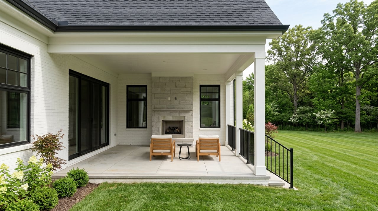
Parks, trails, and outdoor life
Chesterfield maintains neighborhood parks, community fields, and trail segments that connect pockets of the city. The Chesterfield Valley area includes large athletic complexes and sports programming, while nearby regional parks offer hiking and open space just a short drive away.
City parks and trails
For the latest park maps, trail connections, and event calendars, use the City of Chesterfield site. You can explore playgrounds, sports fields, dog-friendly areas, and seasonal events. If you plan to be near a park or trailhead, drive the route at typical times to get a feel for parking and activity levels.
Sports, pools, and clubs
Local leagues and classes are commonly offered through municipal facilities and schools. If you are comparing neighborhoods, look up the closest fields and aquatic facilities, then note seasonal hours and membership or registration details. It helps to budget time for weekend games and practices when you evaluate commute patterns.
Daily life essentials
Chesterfield’s everyday rhythm centers on its retail corridors and neighborhood centers. You will find big-box retailers, grocery anchors, and a wide mix of restaurants in the Valley, plus smaller centers and services closer to residential areas.
Shopping and dining
Expect one-stop shopping for errands, home goods, and dining. If walkability is important, focus on homes near established retail nodes or mixed-use pockets. Most residential streets are car-dependent, so evaluate drive times during peak hours for a realistic view.
Health care and services
Major hospitals and specialists are accessible in nearby suburbs and central St. Louis. You will also find urgent care clinics and dental and specialty providers throughout West County. When touring, note the closest options and typical drive times, especially for weekly appointments.
Community events
City programming includes seasonal festivals, concerts, and neighborhood events. Check the municipal event calendar on the City of Chesterfield website and save dates that align with your interests. Community groups, religious institutions, and volunteer organizations add to local life throughout the year.
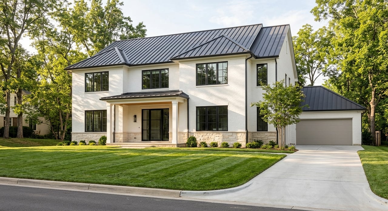
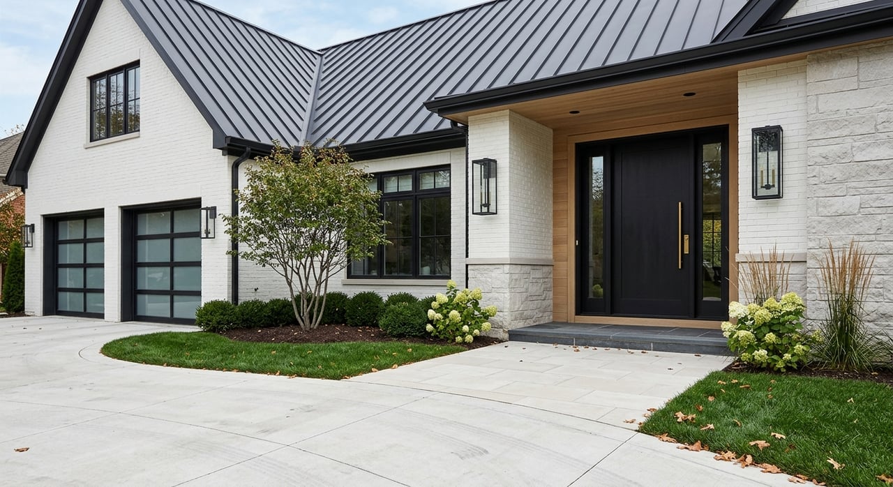
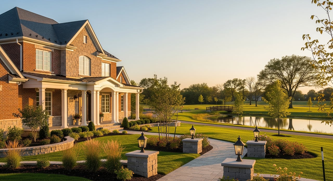
Housing and neighborhoods
You will see a broad range of housing types and eras, from 1970s–1990s subdivisions to newer infill and planned communities. Lot sizes vary from modest suburban parcels to larger bluff-side properties.
Home types and eras
- Single-family homes dominate, with a mix of ranch, two-story, and custom builds.
- Townhomes and condos provide low-maintenance options for downsizers and busy professionals.
- Newer construction and redevelopment appear near commercial corridors and on select infill sites.
If you prefer newer systems and open layouts, focus on late-1990s to recent builds. If you like mature trees and established streets, consider earlier subdivisions and renovated homes.
Practical checks for buyers
- Review HOA rules and monthly dues for planned communities.
- Confirm any floodplain considerations, especially in low-lying valley areas, using the FEMA flood maps.
- Drive the neighborhood at school start and dismissal times to understand traffic patterns.
- Ask about upcoming city or commercial redevelopment that may affect noise or congestion.
Commute and transportation
Car commuting is the norm in West County. Chesterfield connects to regional employment centers by major highways, and travel times vary by direction and peak hour.
Driving patterns
Study your likely routes at morning and evening peaks using navigation apps, then add buffer for school-year traffic. Check the Missouri Department of Transportation for active projects and lane closures that can shift drive times during your home search.
Public transit basics
MetroLink light rail does not extend into much of West County. Limited MetroBus routes and park-and-ride options may be available depending on your location. Use Metro Transit’s site to review current service and schedules before relying on transit for daily commuting.
Air travel
Chesterfield is home to a significant general-aviation airport used for corporate and private flights. Learn more through the Spirit of St. Louis Airport. For commercial flights, residents use St. Louis Lambert International Airport; drive time depends on traffic and route.
10-minute neighborhood checklist
Use this quick list when comparing homes:
- Schools: Confirm assigned schools on district maps, then review profiles on DESE.
- Parks: Look up your nearest park and trail access on the City of Chesterfield site.
- Commute: Test-drive your route at peak times; check MoDOT for projects.
- Floodplain: Review the address on FEMA’s flood maps and consult your insurance agent if needed.
- Daily errands: Time a typical grocery and pharmacy run from the driveway.
- Noise and traffic: Visit at school bell times and weekends.
- HOA: Read Covenants, Conditions, and Restrictions before you write an offer.
Plan your move with local guidance
A thoughtful plan makes your Chesterfield move smoother and more confident. If you want discreet, high-touch representation and clear advice on schools, neighborhoods, and timing, connect with The Otto Group. We pair deep West County knowledge with premium marketing and careful negotiation so you can move forward with clarity.
FAQs
What should I know about Chesterfield public schools?
- Chesterfield is primarily served by the Parkway and Rockwood districts; verify your specific address on the Parkway and Rockwood sites, then review performance data on DESE.
How can I check flood risk near Chesterfield Valley?
- Enter the property address on the FEMA flood maps and speak with your insurance professional about coverage and costs.
What is the commute like from Chesterfield to major job centers?
- Car commuting is most common; test peak-hour routes you plan to use and watch MoDOT for work zones that affect timing.
Does Chesterfield have practical public transit options?
- Service is limited compared with inner suburbs; check current MetroBus routes and park-and-ride locations on Metro Transit before relying on transit daily.
Which airports do Chesterfield residents use?
- General aviation operates from the Spirit of St. Louis Airport, while commercial flights depart from St. Louis Lambert International Airport.